By the end of 2014, Globema with its partner Pentegy, will create a Command Support System for Polish Emergency Medical Services. The two companies have signed an agreement with Polish IT Projects Centre for the implementation of the system. The contract value is ca. €1.9M gross and the consortium of the 2 companies was chosen through a public tender procedure.
Globema company, together with its partner Pentegy signed the agreement with IT Projects Centre (CPI) for the implementation of a nationwide Command Support System for Polish Emergency Medical Services. According to the schedule, the system will be created by the end of 2014.
Joint offer of Globema and Pentegy was selected as the best in the tender announced by the IT Projects Centre, the governmental agency responsible for IT projects in the public sector.
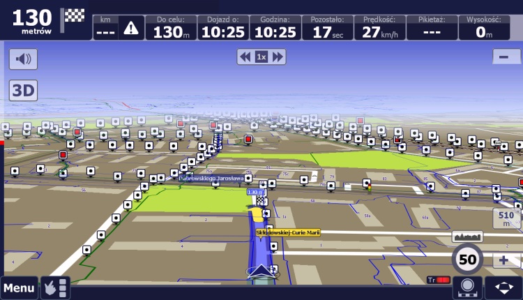
The system will be the part of the Emergency Notification System that will unify collaboration among all emergency services across the country. The main users of the system will be Dispatchers of Emergency Medical Teams, responsible for managing emergency resources. The system will support the teams in getting to the scene and preparing medical records.
The contract is funded under the project “System for Emergency Notification” carried out within the EU Innovative Economy Operational Programme, Priority Axis VII – “Information Society-development of electronic administration“.


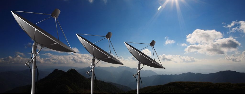
 MDC-Telco is a stand-alone tool created to improve the process of stocktaking network and infrastructure data in Telecoms (also small/local Telecom operators). It enables field force to optimize the stocktaking efforts in the field while gathering or verifying information.